
San Juan de Ortega
❯ Burgos
25,7km
STAGE DISTANCE
Information
This stage of the French Way connects San Juan de Ortega with Burgos, capital of the province of Burgos, in Castile and León. It is a day of about 25–26 km, of moderate difficulty, with an estimated duration close to 6 hours of walking. The distance can vary slightly depending on the variant chosen for entering Burgos, especially if you opt for the Castañares detour and the riverside walk of the Arlanzón River.
The route begins in the monastic surroundings of San Juan de Ortega, one of the most singular Jacobean enclaves of the Montes de Oca. From there, the Way first advances via dirt tracks and small villages such as Agés and Atapuerca. This first part retains a rural atmosphere, with quiet sections, open landscape, and dirt roads.
The most characteristic point of the day is the climb to the Sierra de Atapuerca. It is not a long ascent, but the stony surface and exposure to sun or wind can make it uncomfortable. After reaching the summit, the Way descends toward the Pico River valley and links with Cardeñuela Riopico and Orbaneja Riopico.
From Orbaneja Riopico onward begins the approach to Burgos. The pilgrim can follow the traditional route via Villafría, which enters the city via an industrial and urban corridor, or take the Castañares variant, somewhat longer but more pleasant, as it allows access to Burgos via the riverside walk of the Arlanzón.
The arrival in Burgos is one of the great urban milestones of the French Way. The city maintains a profound Jacobean tradition and a first-rate heritage ensemble, presided over by the Cathedral of Santa María, one of the great works of European Gothic.
Recommendation from The Way
Recommendation in stage 12: San Juan de Ortega - Burgos
- It is best to leave San Juan de Ortega with some water and provisions for the first section, as Agés is about 3.5 km away and is usually the first clear point to stop. The stage presents no major orientation problems, but does require managing effort well, especially before the climb to the Sierra de Atapuerca.
- Agés is a good place to have breakfast or make a short pause before continuing toward Atapuerca. As happens in many small villages on the Way, it is recommended not to depend on specific times without checking them, especially outside of season.
- In Atapuerca it is good to prepare for the climb to the pass. It is not a long ascent, but the stony surface, lack of shade, and exposure to sun or wind can make it harder than expected. On hot days it is advisable to carry sufficient water and not face this section in a hurry.
- The descent from the Sierra de Atapuerca requires attention. The irregular terrain and loose stone can punish knees and ankles, especially if walking with a heavy backpack or if the ground is wet. It is recommended to descend calmly and use trekking poles if you are accustomed to them.
- The main decision point of the day comes after Orbaneja Riopico. The traditional route continues toward Villafría and enters Burgos via Avenida de Vitoria, crossing an industrial and urban corridor. It is a direct and marked option, but can be long and monotonous.
- The Castañares variant adds some distance, but is usually more recommendable for many pilgrims because it allows entry to Burgos via the riverside walk of the Arlanzón River. It is a more comfortable, quieter, and less traffic-exposed arrival.
- For cycling, the stage is viable, although the climbing and descending section through the Sierra de Atapuerca can be uncomfortable due to the stony surface. With rain or mud, it is worth considering more cyclable alternatives. For entering Burgos, the option via Castañares and the riverside walk is usually more pleasant.
If you wish to visit the Atapuerca sites, it is important to plan ahead. They are not an improvised visit within the stage itself and normally require advance reservation.
Stage profile
The stage has an approximate distance of 25–26 km and an average duration close to 6 hours of walking, although actual time will depend on pace, stops, the Burgos entrance variant, and terrain conditions. The overall profile is favorable, with more descent than ascent, but has a specific point of effort at the Sierra de Atapuerca.
The route leaves San Juan de Ortega via dirt track and reaches Agés after about 3.6 km. From there it continues toward Atapuerca, where the climb to the mountain begins. After reaching the summit at the wooden cross and geodetic vertex, the Way descends toward the Pico River valley and connects with Cardeñuela Riopico, Orbaneja Riopico, and, on the traditional route, Villafría. From Villafría the urban entrance to Burgos begins via the industrial corridor and Avenida de Vitoria to the historic center.
The alternative most recommended for many pilgrims appears after Orbaneja Riopico: the detour via Castañares allows you to avoid the heaviest part of the industrial access and follow the Arlanzón River to the vicinity of the historic center. It is not the most direct traditional route, but is very widespread for its comfort and for making the arrival in Burgos more manageable.
Itinerary
· San Juan de Ortega
· Agés
· Atapuerca
· Alto de Atapuerca
· Cardeñuela Riopico
· Orbaneja Riopico
· Castañares Detour
· Villafría
· Urban Entrance to Burgos
· Burgos
What to See
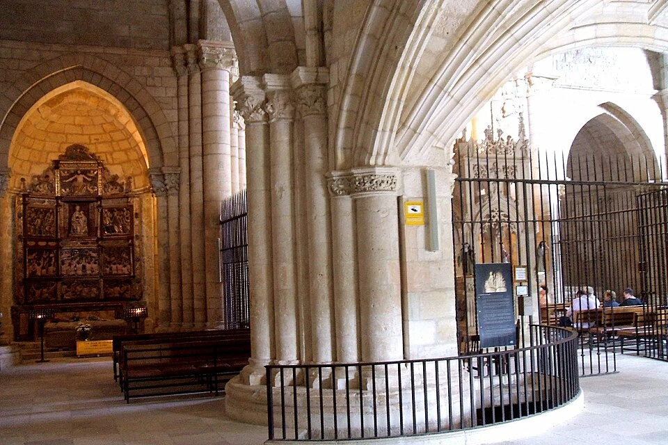
Monastery and Church of San Juan de Ortega
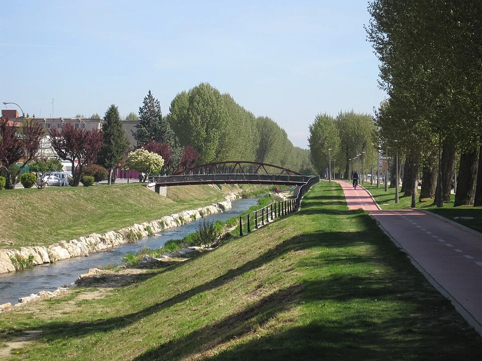
Agés
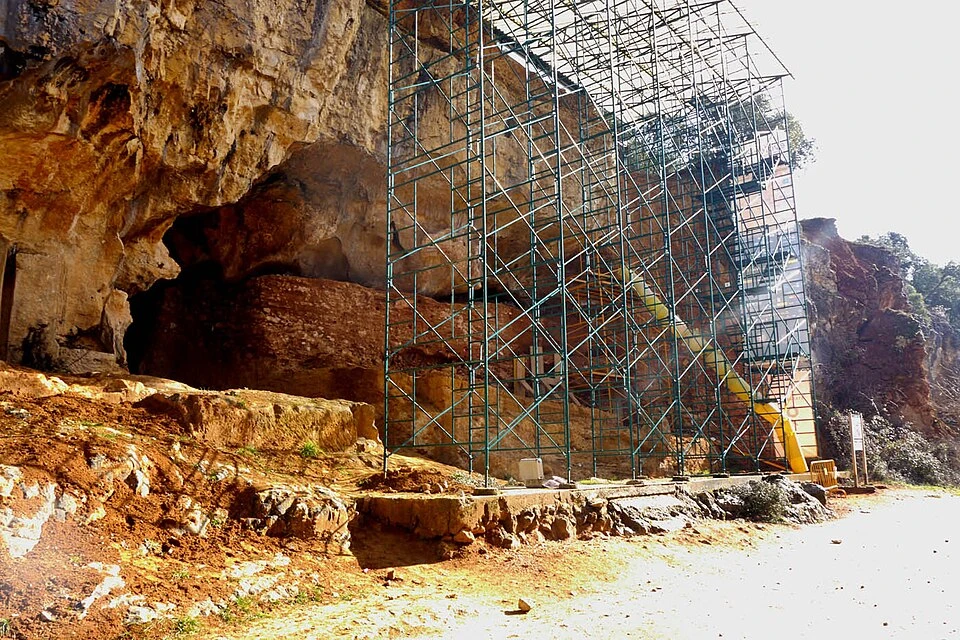
Atapuerca
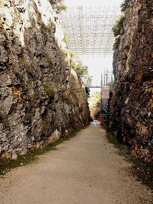
Archaeological Sites of the Sierra de Atapuerca
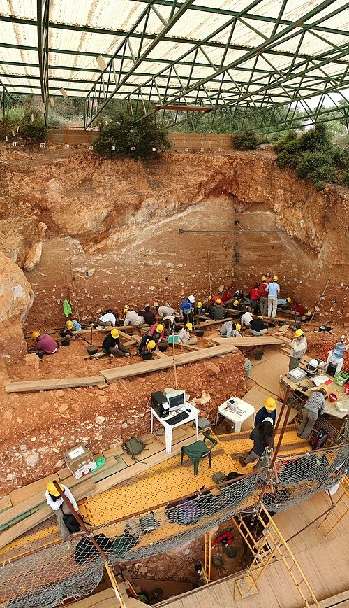
Alto de Atapuerca
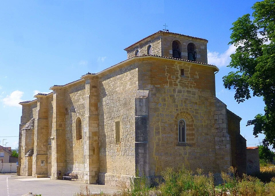
Church of Santa Eulalia de Mérida, Cardeñuela Riopico
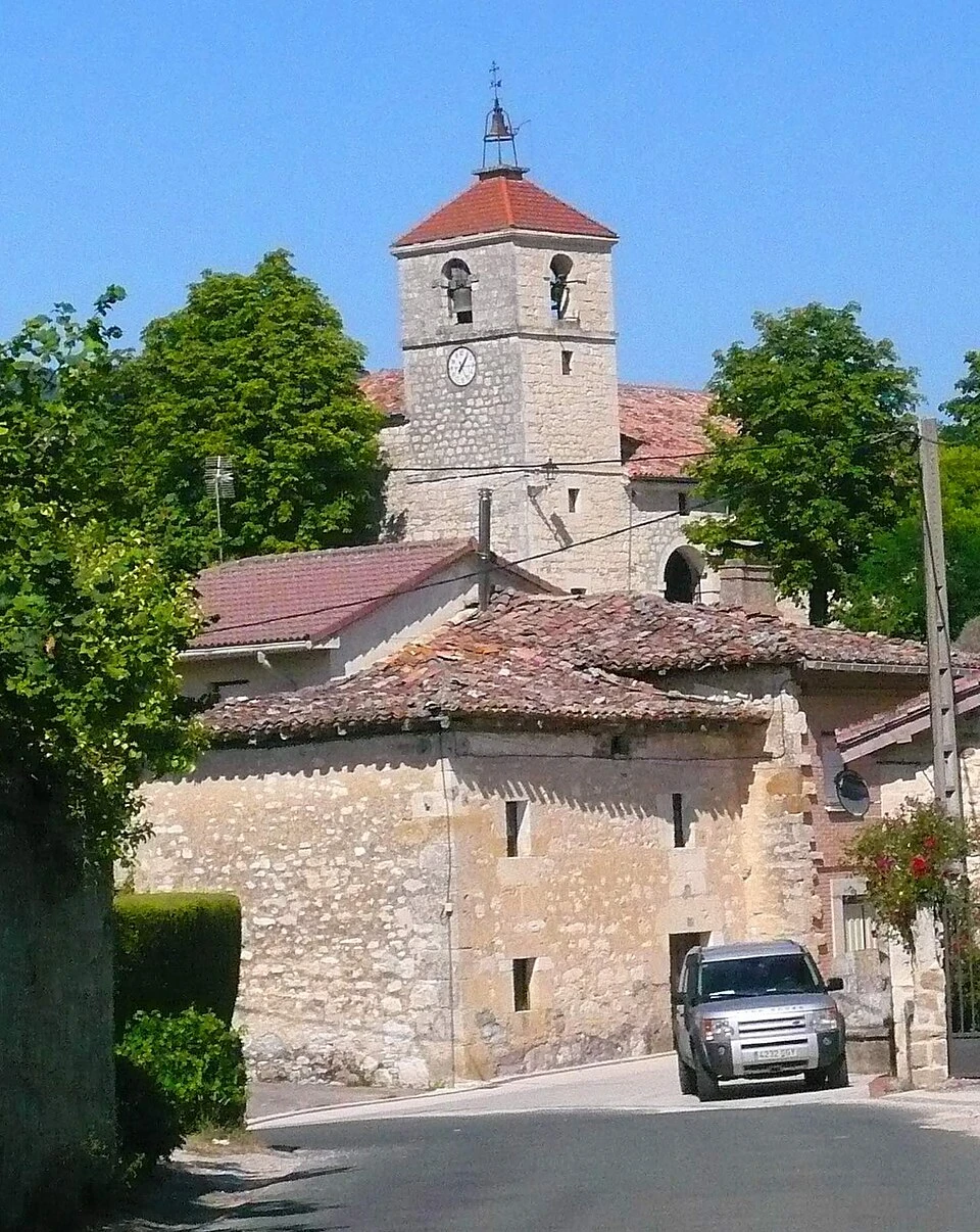
Church of San Millán Abad, Orbaneja Riopico
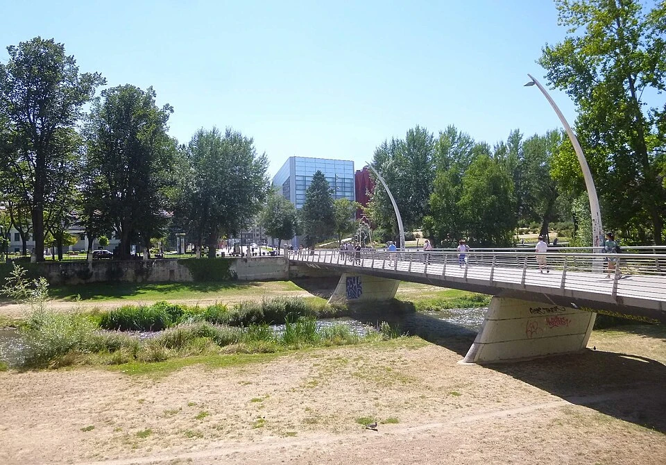
Riverside Walk of the Arlanzón
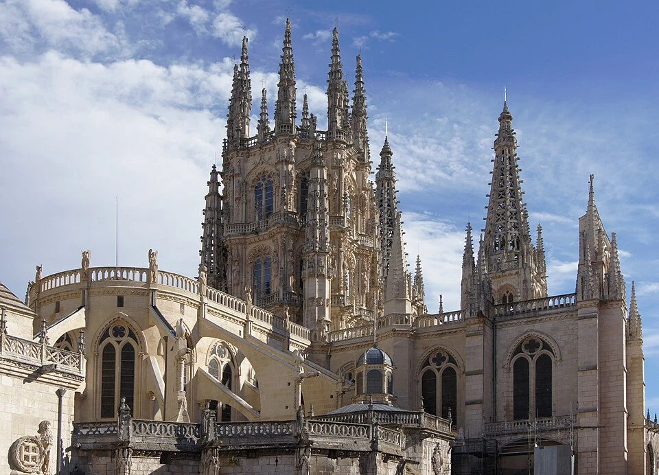
Cathedral of Santa María de Burgos
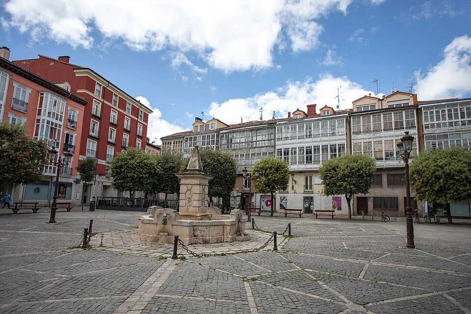
Urban Route Through Burgos
Localities
San Juan de Ortega
Agés
Atapuerca
Cardeñuela Riopico
Orbaneja Riopico
Castañares
Villafría
Burgos
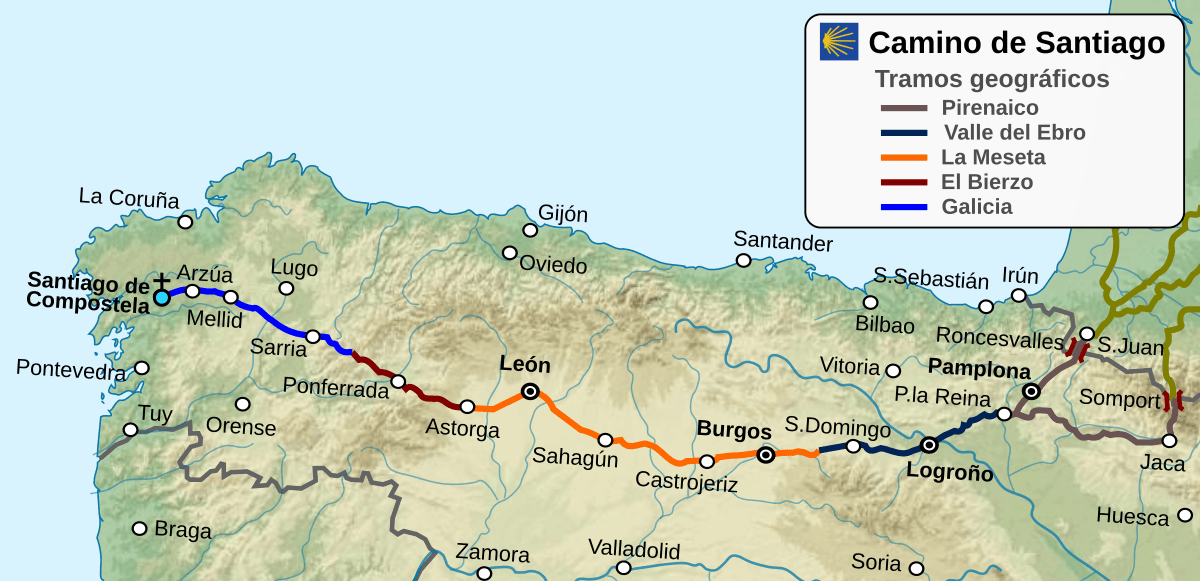
Route map
Ready to begin your journey?