
Belorado
❯ San Juan de Ortega
23,8km
STAGE DISTANCE
Information
Stage 11 of the French Way connects Belorado with San Juan de Ortega, already in the province of Burgos, within Castile and León. It is a day of approximately 23.5–24 km, with an estimated duration of about 5 and a half to 6 hours, depending on pace, stops, and terrain conditions. Gronze and Pilgrim place the distance at 23.9 km, while the Spanish Federation of Associations of Friends of the Way of Santiago records it at 23.290 km, so it is best to speak of an approximate distance.
The route divides into two very distinct parts. The first, up to Villafranca Montes de Oca, advances via agricultural tracks and small villages near the N-120 axis: Tosantos, Villambistia, and Espinosa del Camino. The second part begins in Villafranca and tackles the climb and crossing of the Montes de Oca, a more solitary, wooded, and demanding section, with no intermediate populations until San Juan de Ortega.
The difficulty can be considered moderate. It is not an excessively long stage, but the ascent after Villafranca Montes de Oca requires regulating effort, especially in the first climbing kilometers. Gronze indicates accumulated positive elevation of about 430 m and an estimated duration of 5 h 30 min.
The arrival at San Juan de Ortega has marked Jacobean value. This small locality, belonging to the municipality of Barrios de Colina, preserves one of the monastic ensembles most linked to the hospitality tradition of the French Way. The monastery, with church from the twelfth and thirteenth centuries, Romanesque capitals, Gothic baldachin, and Romanesque sepulcher, is one of the heritage milestones of the day.
Recommendation from The Way
Recommendation in stage 11: Belorado – San Juan de Ortega
- Before leaving Belorado: have breakfast and check the weather forecast for the Montes de Oca. Bring warm clothing and rain gear if there is risk of fog or cold.
- In Villafranca Montes de Oca (around km 12): make a mandatory stop. Fill your water bottles and buy some food for the section of about 12 km with no services. Do not count on the Mojapán fountain being operational.
- On the climb to the Montes de Oca: pace yourself in the first 3 km, which are the hardest. From Mojapán onward the gradient eases.
- Decision for stage ending: if you arrive with energy and seek to shorten the next stage toward Burgos, consider continuing to Agés or Atapuerca. If you stay in San Juan de Ortega, keep in mind there is no ATM or pharmacy and accommodations are limited; reserve or arrive with plenty of time, especially in high season.
- If you want to see the “miracle of the light”: plan your passage through San Juan de Ortega on the days around the equinoxes (around March 21 or September 22), around 17:00 solar time, and confirm hours and opening at the sanctuary, as the phenomenon depends on clear skies.
- By bike: avoid the tracks of the Montes de Oca in heavy rain due to mud; in that case, consider the N-120. Prepare your bike for dirt terrain and anticipate that the start of the climb may force you to dismount.
- Thresholds that change the decision: with forecast of storm, dense fog, or snow at higher elevations, exercise extreme caution on the mountain section; with strong heat in summer, advance your departure to cross the Montes de Oca during cool hours.
Stage profile
The route connects Belorado (starting point, at approximately 770 m elevation) with San Juan de Ortega (stage ending). The approximate distance is 24 km and the estimated duration is about 5 and a half hours of walking.
The profile has two very distinct parts. The first half, up to Villafranca Montes de Oca (around km 12), is practically flat, with a slight and constant upward tendency; it runs via agricultural dirt tracks parallel to the N-120. The second half concentrates all the elevation gain: immediately upon leaving Villafranca the climb to the Montes de Oca begins, the most demanding of the day, with about 200 m of elevation gain in about 3 km. The gradient eases from the Mojapán fountain onward and the route continues gaining height up to Alto de la Pedraja, the highest point of the stage, which sources place at around 1,150–1,157 m. Afterwards, the terrain levels out on a wide track among oak and pine trees and descends long and gently to San Juan de Ortega.
The terrain type is mostly dirt track and forest track, with some sections along the N-120 shoulder and highway crossings. As a practical note, the most delicate section due to difficulty and isolation is that between Villafranca and San Juan de Ortega; it is best to face it with water, food, and time to spare.
Itinerary
· Belorado
· Tosantos
· Villambistia
· Espinosa del Camino
· Ruins of San Félix de Oca
· Villafranca Montes de Oca
Villafranca Montes de Oca is the most important point of the stage before San Juan de Ortega. It was a relevant stop on the medieval Way and marks the beginning of the crossing of the Montes de Oca. Here it is best to rest, review your water, and buy food if necessary, as there are no intermediate villages until San Juan de Ortega.
The Way leaves the N-120, climbs beside the Church of Santiago, and passes near the ancient hospital of San Antonio Abad, founded in the fourteenth century. The initial climb is the most demanding part of the day.
· Mojapán Fountain and Viewpoint
· San Juan de Ortega
What to See
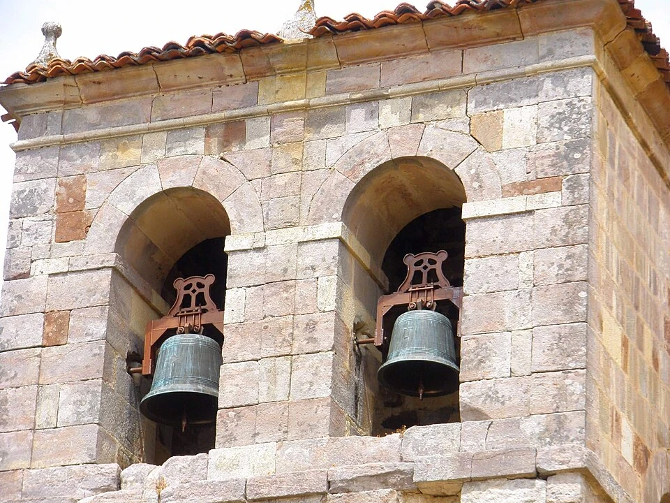
Hermitage of the Virgin of the Rock (Tosantos)
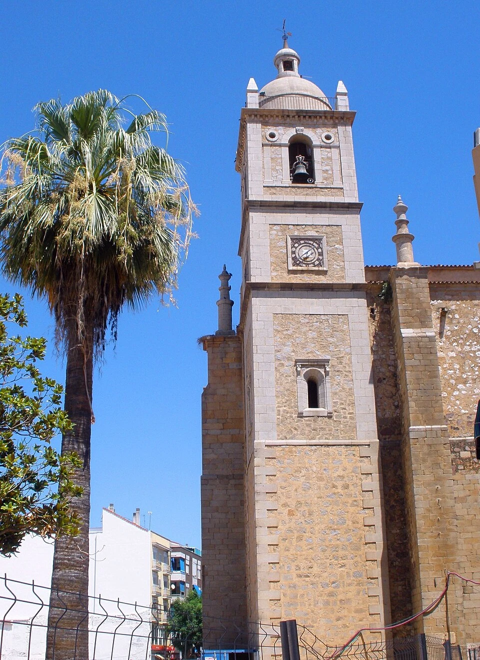
Church of Santiago (Villafranca Montes de Oca)
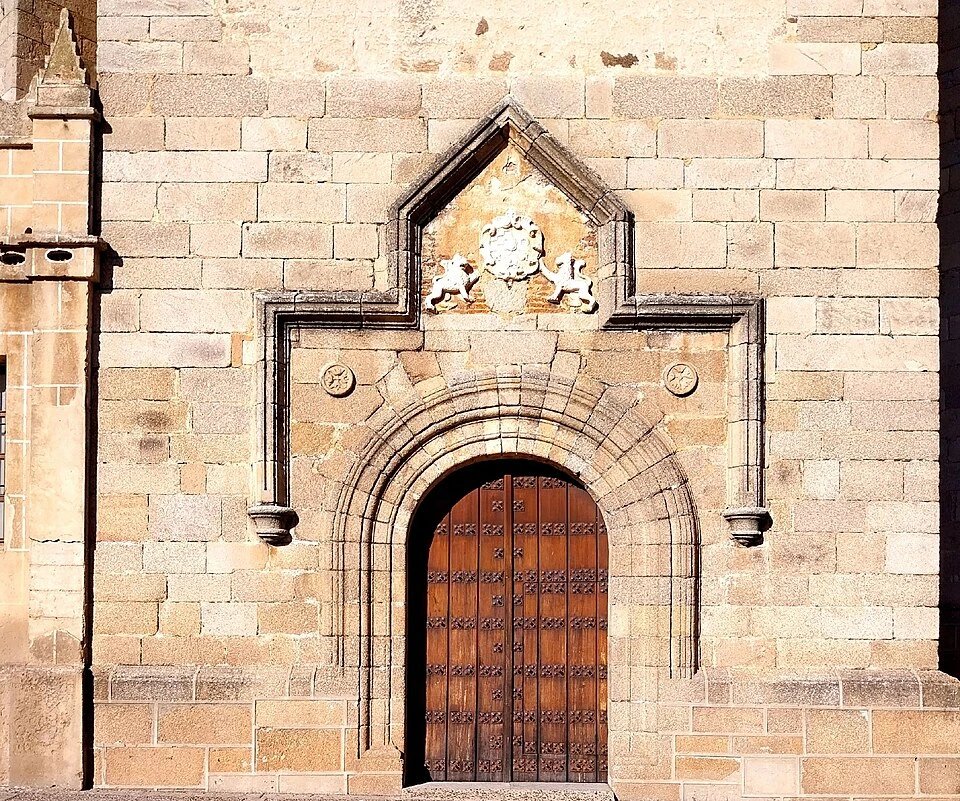
Ancient Hospital of San Antonio Abad / Hospital of the Queen (Villafranca Montes de Oca)
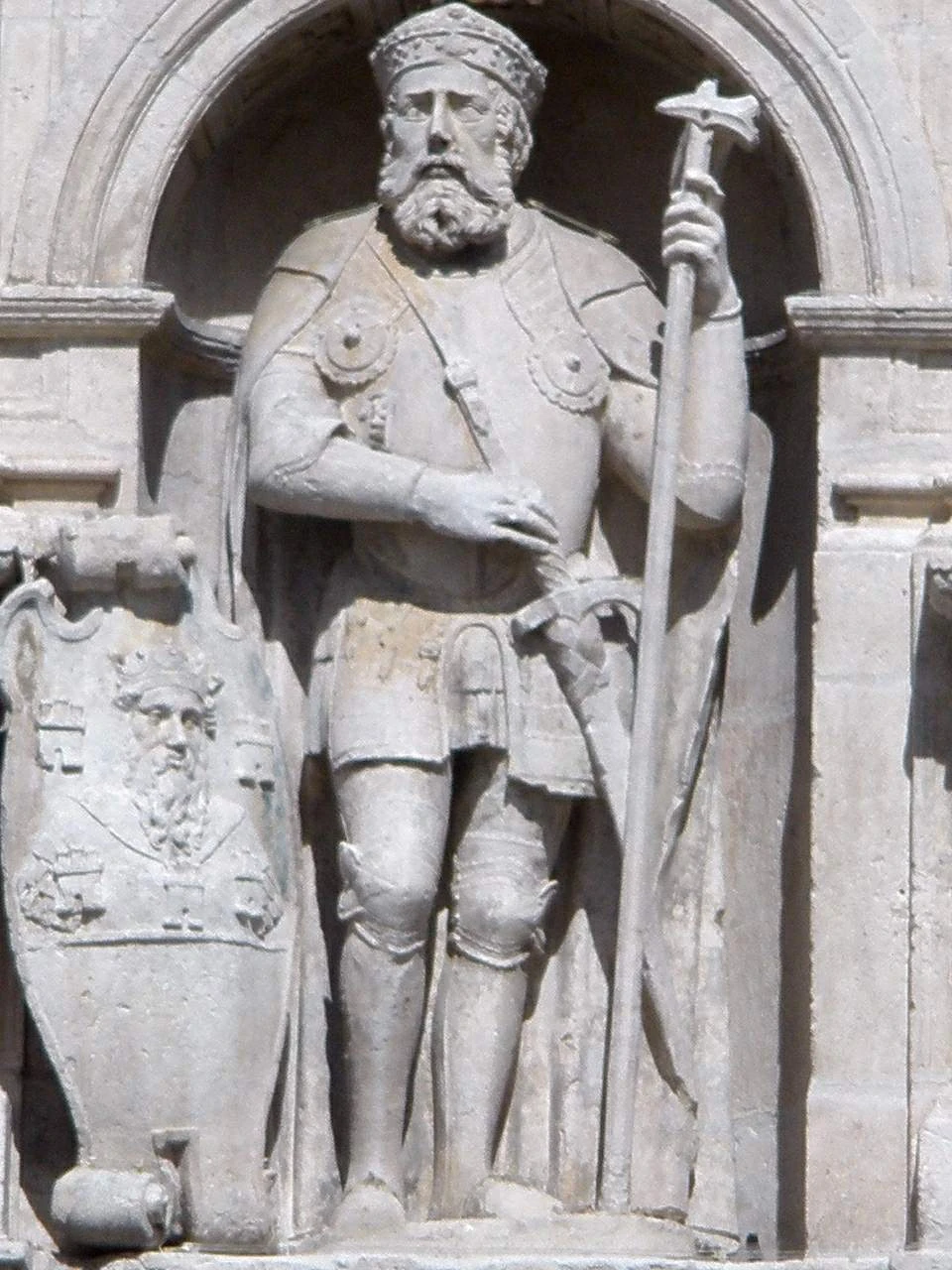
Apse of San Felices (between Espinosa del Camino and Villafranca)
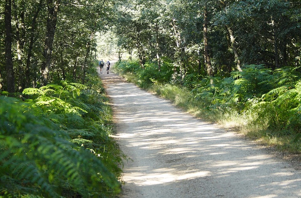
Montes de Oca
Monument to Those Shot during the Spanish Civil War (Alto de la Pedraja)
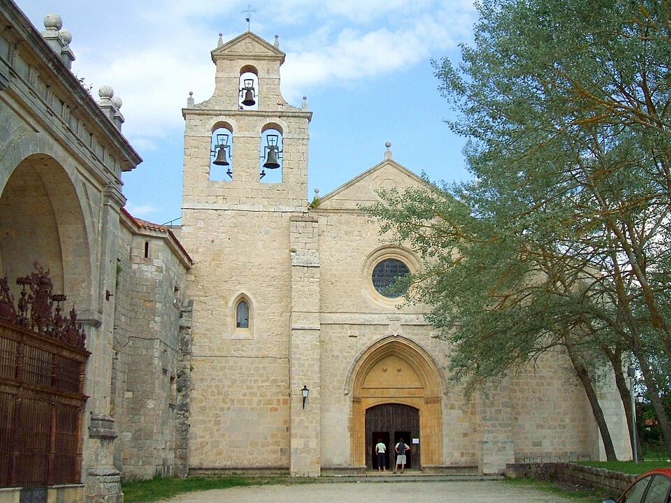
Monastery and Church of San Juan de Ortega
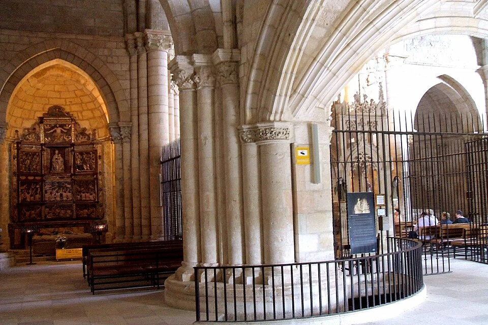
The "Miracle of the Light" and the Capital of the Annunciation (San Juan de Ortega)
Localities
Belorado
Tosantos
Villambistia
Espinosa del Camino
Villafranca Montes de Oca
San Juan de Ortega
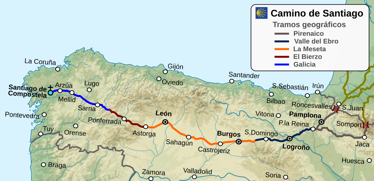
Route map
Ready to begin your journey?