
Burgos
❯ Hornillos del Camino
21km
STAGE DISTANCE
Information
This stage of the French Way of the Way of Santiago connects the city of Burgos with the small village of Hornillos del Camino, already in the heart of the province of Burgos (Castile and León, Spain). This day marks the beginning of the crossing of the Castilian Meseta, one of the most characteristic and commented sections of the entire French Way.
The stage has an approximate distance of 20 km, with an average duration of about 5 hours of walking, according to sources consulted. The distance can vary slightly depending on the guide: Gronze indicates 20.3 km, while other sources speak of about 20–21 km. It is a stage of moderate difficulty, with little accumulated elevation (around 100–155 m of climb, depending on the source). The profile is practically flat, with a single relevant climbing section to the plateau and a pronounced final descent, the well-known slope of Matamulos, just before arriving at Hornillos.
The departure from Burgos is comfortable and quick, in contrast to the long urban entrance of the previous stage. After leaving the city behind, the pilgrim ventures into long dirt tracks and loose stone paths that cross the vast cereal lands of Castile. The landscape, open and with few shaded areas, offers a first taste of what the Meseta will be: broad horizons, cereal fields, and silence.
The main villages of the day are Burgos (departure), Tardajos and Rabé de las Calzadas (mid-stage), and Hornillos del Camino (final destination). The general feeling is that of a quiet and transitional stage, with a pleasant and populated first half, and a more solitary and exposed second half, in which the pilgrim confronts for the first time the immensity of the Castilian plateau.
Recommendation from The Way
Recommendation in stage 13: Burgos - Hornillos del Camino
This stage is not physically demanding, but has some points worth noting. These are the recommendations based on verified information:
- Water and sun exposure: the second half of the stage, between Rabé de las Calzadas and Hornillos, runs through open plateau with very little shade. In summer the sun beats down hard; it is important to carry sufficient water, sun protection, and, if possible, avoid the central hours of the day. In the plateau section you will find the Praotorre fountain (also written Prao Torre), about 3 km after Rabé, with a small rest area, although its operation should not be guaranteed.
- The slope of Matamulos: the final descent toward Hornillos is short but steep and stony, with loose stones. It is best to descend carefully, especially with rain or wet ground, when it becomes slippery.
- Supplies: Tardajos and Rabé, at mid-stage, are good points to rest and regain strength, as they have services. Hornillos is a very small village, with no ATM or pharmacy, so it is best to arrive with cash and necessities.
- Cold in winter: the Meseta is as harsh in summer due to heat as in winter due to cold and wind. In cold months it is important to bring warm clothing and a windbreaker.
- For those cycling: the stage is cyclable and has a gentle profile, but the long dirt tracks with loose stone can be uncomfortable, and the descent of Matamulos requires extreme caution or dismounting.
- Accessibility: several sources warn that the section between Rabé and Hornillos is difficult or impassable for people with reduced mobility, due to the condition of the path and the harsh final descent.
- Planning: many pilgrims who have less time divide here the journey to Hontanas, ending in Hornillos. Others, with more stamina, extend the stage. It is best to decide based on pace and weather forecast.
Stage profile
The route connects Burgos with Hornillos del Camino over about 20 km, with an estimated duration of about 5 hours of walking, not counting stops.
The profile is mostly flat. After a comfortable departure from Burgos, the path runs with almost no elevation change to Tardajos and Rabé de las Calzadas (around the middle of the stage). From Rabé onward begins a gentle and sustained climb toward the Castilian plateau, until reaching a pass situated around 925 m elevation, the highest point of the day, from which Hornillos can already be seen in the distance. From there begins the descent via the slope of Matamulos, short but steep and stony, which descends to the Hormazuela River valley, where Hornillos is situated.
The terrain type combines urban sections at departure from Burgos, trails and tracks beside the river, some secondary road section between Tardajos and Rabé, and long dirt tracks and loose stone paths on the plateau. As a practical note, the real difficulty of the stage is not in the elevation gain, but in the sun exposure of the plateau and the final descent of Matamulos.
Itinerary
· Burgos
The stage begins in Burgos, usually from the surroundings of the Cathedral or from the municipal shelter on Calle Fernán González. The Way crosses part of the historic center and exits the city from the western sector.
The departure allows you to see some spaces very linked to the Burgalese Jacobean tradition, such as Calle Fernán González, the Arch of San Martín, the Malatos Bridge, and the surroundings of the ancient Hospital del Rey. Later, the route approaches the university area and continues toward the outskirts.
· Urban Exit and Villalbilla Surroundings
After leaving Burgos center, the Way advances beside the N-120 and crosses several passages under road and rail infrastructure. In this section the landscape is still peri-urban, although agricultural terrain gradually gains presence.
Villalbilla de Burgos is close to the route, visible to the left in some sections, although the Way does not always enter directly into the urban nucleus. Advance is made via dirt roads and areas parallel to the highway.
· Tardajos
Tardajos is the first important locality of the stage. The Way arrives after crossing the area of the Arlanzón River and advancing via tracks close to the N-120. It is a good place to rest, have something to drink, and prepare for the section toward Rabé.
The village has Jacobean tradition and preserves heritage of interest, among which stands out the Church of the Assumption. Formerly, the terrain between Tardajos and Rabé could be complicated by floods and waterlogged areas, which gave rise to popular sayings associated with this section.
· Rabé de las Calzadas
From Tardajos you reach Rabé de las Calzadas via a secondary road that crosses the Urbel River valley. Rabé is a small locality, but very important in organizing the stage, as it is the last nucleus before Hornillos.
It is advisable to stop here if you need water, food, or rest. At the exit from the village begins a dirt and loose stone track that ascends gently toward the plateau. The landscape changes clearly: inhabited nuclei disappear and the vastness of the meseta takes hold.
· Praotorre Fountain
A few kilometers from Rabé appears the Praotorre fountain, located slightly off the path and with a small rest area. It is one of the few reference points in the open section toward Hornillos.
You should not depend exclusively on this fountain without carrying sufficient water from Rabé, especially in summer or outside of season. The Way continues afterward via the same track between cultivated fields.
· Plateau Pass
The Way reaches a small pass from which Hornillos del Camino can begin to be seen in the distance. It is not a point of great elevation, but it does mark the end of the gentle ascent from Rabé and the beginning of the descent toward the valley.
The terrain remains open, stony, and very exposed to sun and wind. In this section the character of the Meseta stages is well understood: long perspectives, few natural shelters, and constant walking between fields.
· Hornillos del Camino
The stage ends in Hornillos del Camino, after descending from the plateau and crossing the area of the Hormazuelas River. The locality appears as an elongated nucleus, organized around Calle Real, where the Way passes.
Hornillos is a classic stage ending and very linked to pilgrimage. It preserves the parish church of San Román, remains of its hospitality tradition, and a fully Jacobean atmosphere.
What to See
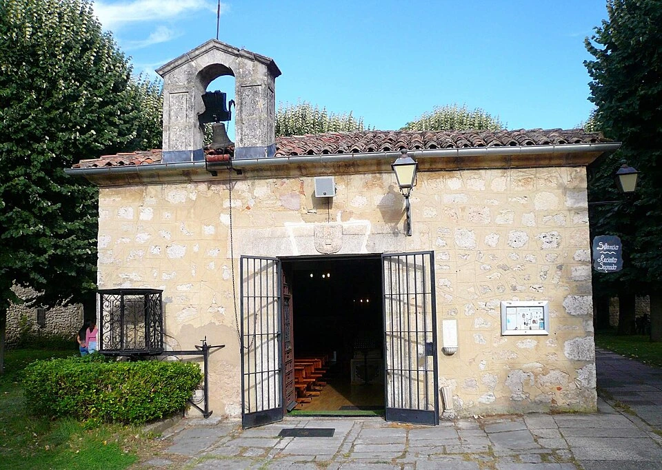
Hospital del Rey and Hermitage of San Amaro (Burgos)
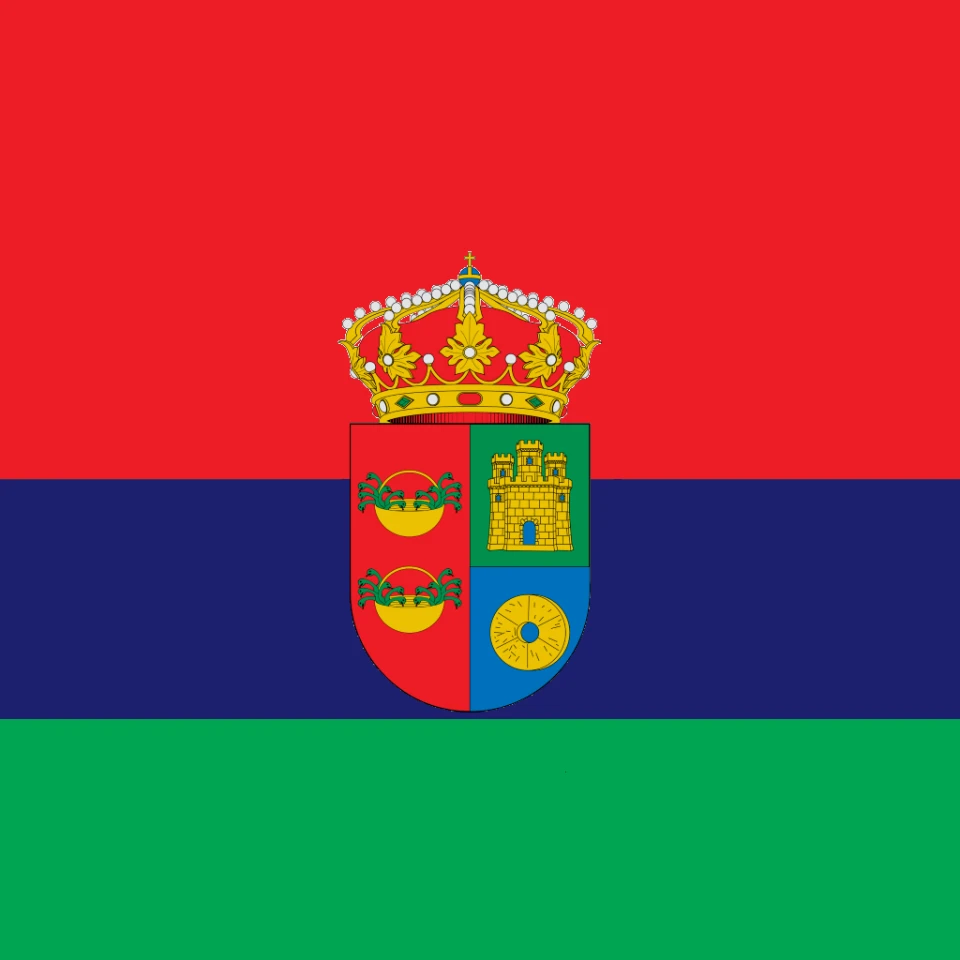
Tardajos
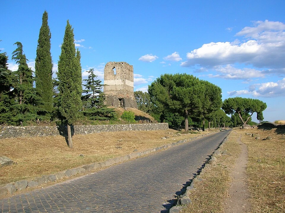
Rabé de las Calzadas
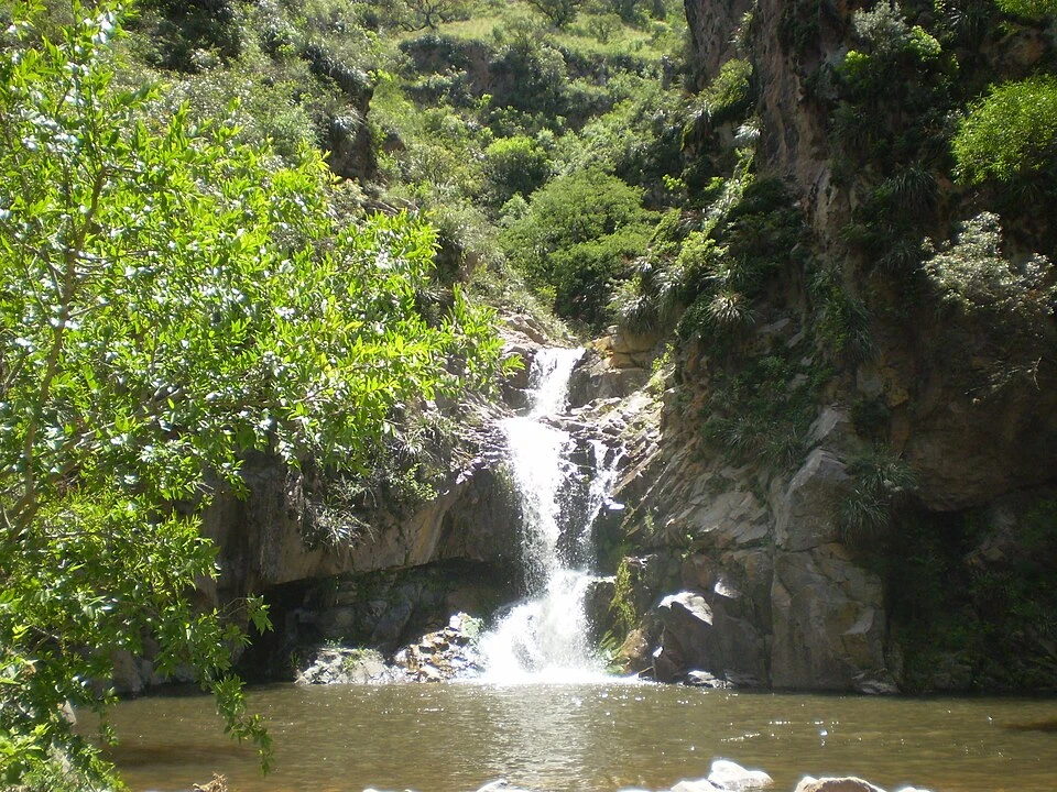
Slope of Matamulos
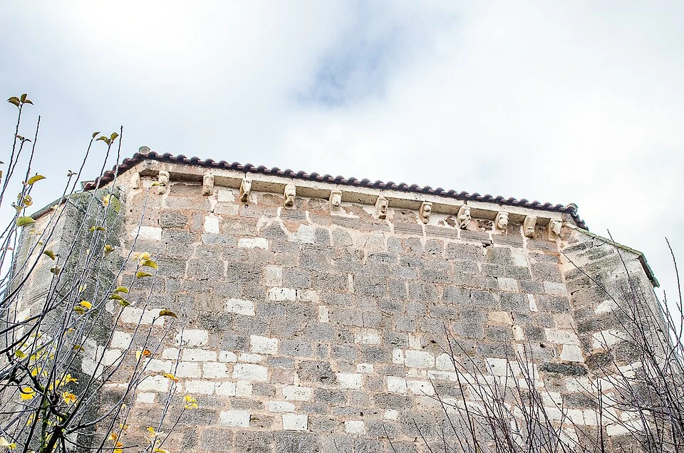
Parish Church of San Román Mártir (Hornillos del Camino)
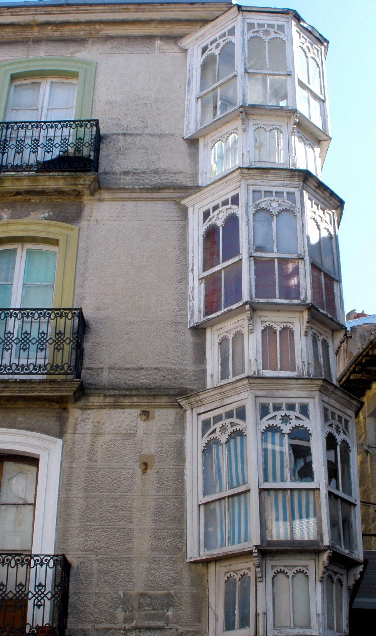
Hornillos del Camino, Way-village
Localities
Burgos
Tardajos
Rabé de las Calzadas
Hornillos del Camino
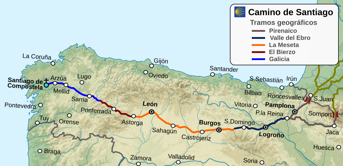
Route map
Ready to begin your journey?