
Castrojeriz
❯ Frómista
24,7km
STAGE DISTANCE
Information
This stage of the French Way of the Way of Santiago connects Castrojeriz, in the province of Burgos, with Frómista, already in the province of Palencia (Castile and León, Spain). It is one of the days that marks the passage from the Burgalese lands to the Tierra de Campos of Palencia, known as “the granary of Spain,” and combines the specific hardship of a climb with the friendliness of a long almost-flat journey.
The stage has an approximate distance of 25 km, with an average duration of about 5 and a half hours of walking, according to sources consulted. The distance can vary slightly depending on the guide: Gronze indicates 24.7 km and other sources speak of 25–25.5 km. It is a stage of moderate difficulty, with accumulated elevation gain of around 200–230 m, concentrated almost entirely at a single point.
The only relevant orographic difficulty is the climb to Alto de Mostelares (also called Teso de Mostelares), right upon leaving Castrojeriz: a short but demanding climb of about 140–150 m elevation gain over about 1.5–1.7 km, with sections of steep gradient. Once past the summit, the rest of the day is practically flat, via long dirt tracks very exposed to the sun, crossing the immense cereal plain.
The main villages of the day are Castrojeriz (departure), Itero de la Vega, Boadilla del Camino, and Frómista (final destination). On the way you cross the Pisuerga River via the Fitero Bridge (or Itero Bridge), which marks the historic border between Burgos and Palencia, and you travel a final section beside the Canal de Castilla, a notable engineering work from the eighteenth century. The general feeling is that of a stage of strong contrast: a demanding start and a long peaceful and meditative development across the plateau, with a final section of great heritage interest in Frómista.
Recommendation from The Way
Recommendation in stage 15: Catrojeriz – Frómista
This stage is accessible except for its initial climb. These are recommendations based on verified information:
- Approach Mostelares calmly: the climb to Alto de Mostelares arrives very soon, with legs still cold. It is best to take it tranquilly, as the gradient is steep (around 12% in some sections). The subsequent descent, partially cemented, is steep at first; it is best to descend carefully.
- Have a good breakfast: as this stage is somewhat longer than the previous ones and starts with a climb, it is important to leave Castrojeriz well-breakfasted.
- Sun exposure: after Mostelares, the route is very open and with little shade. In summer it is important to carry sufficient water, sun protection, and hydrate frequently, avoiding the hours of maximum heat.
- Supplies: Itero de la Vega and Boadilla del Camino have services (bar, shop, and shelter, according to sources) and are good points to rest and regain strength. It is wise to carry some water for the sections between villages.
- The Canal de Castilla section: the final kilometers before Frómista run beside the Canal de Castilla, a pleasant and flat stretch. It is one of the most singular sections of the day.
- For those cycling: the stage is cyclable; the climb to Mostelares can force dismounting and the descent, stony at the start, requires caution. The rest, via flat tracks, is comfortable.
- Accessibility: several sources warn that the climb to Mostelares, right upon leaving Castrojeriz, is impractical for people with reduced mobility; the rest of the route, due to its surface, also presents difficulties.
- Time for Frómista: it is worth arriving with time to visit the Church of San Martín, one of the great references of Romanesque architecture on the Way.
Stage profile
The route connects Castrojeriz with Frómista over about 25 km, with an estimated duration of about 5 and a half hours of walking, not counting stops.
The profile is very unequal in its distribution. After a flat departure from Castrojeriz and crossing a river by a wooden bridge, the climb to Alto de Mostelares arrives immediately, the only serious effort of the day: about 140–150 m elevation gain over about 1.5 km, with steep gradient. At the top, at about 900–930 m elevation, there is a shrine and a rest area, with broad panoramas of the Tierra de Campos. From there you descend via a stony track, cemented in its first section, and the route becomes practically flat for the rest of the day.
The terrain combines dirt tracks across the plateau, some section beside the road, the crossing of the Pisuerga River via the Fitero Bridge, and a final section via the service road of the Canal de Castilla. As a practical note, except for Mostelares, there is no orographic difficulty: the challenge lies in sun exposure and the length of the flat terrain.
Itinerary
· Castrojeriz
· Alto de Mostelares
· Fuente del Piojo
· Fitero Bridge and Entry into Palencia
· Itero de la Vega
· Boadilla del Camino
· Frómista
What to See
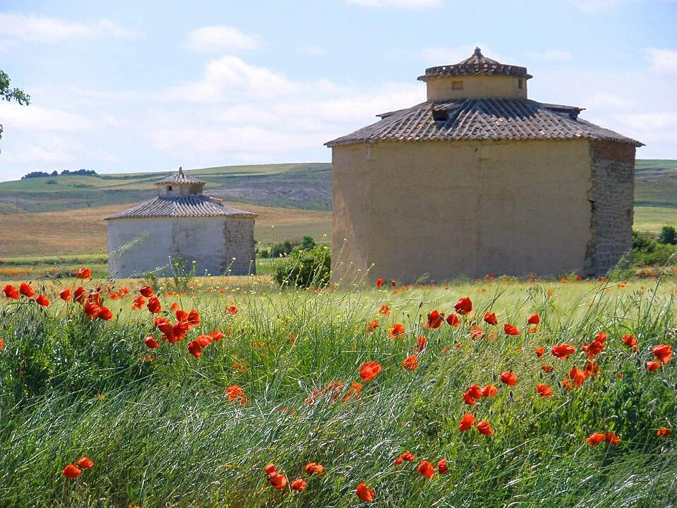
Alto de Mostelares (Teso de Mostelares)
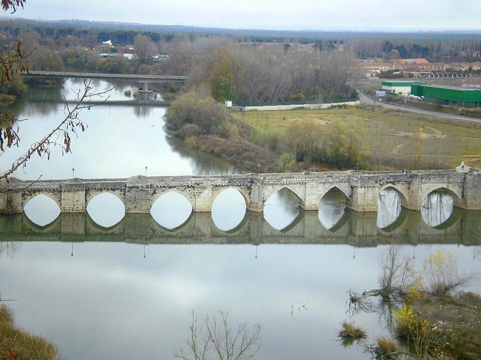
Fitero Bridge (or Itero Bridge) over the Pisuerga
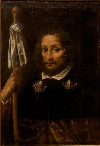
Itero de la Vega
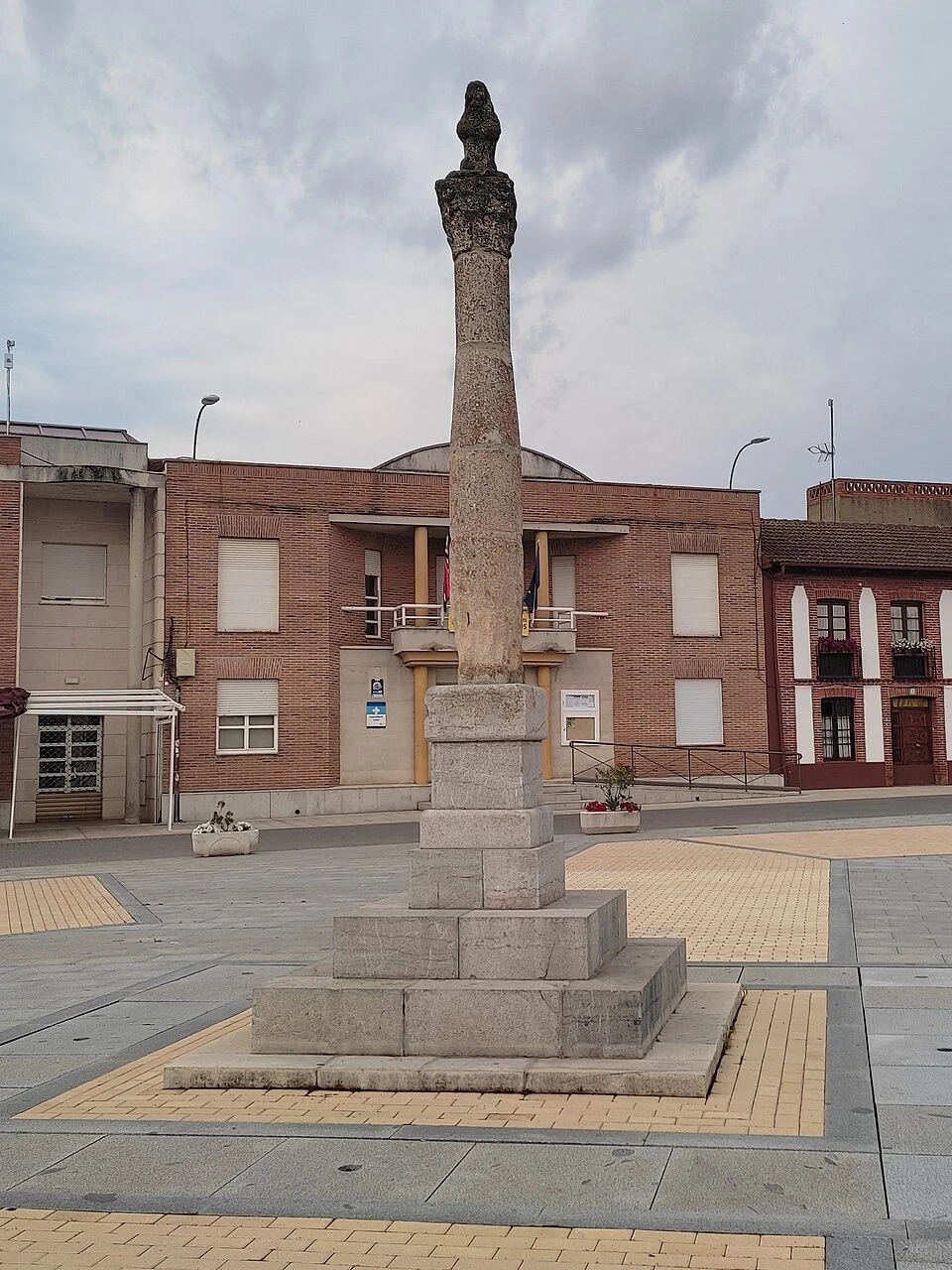
Jurisdictional Roll of Boadilla del Camino
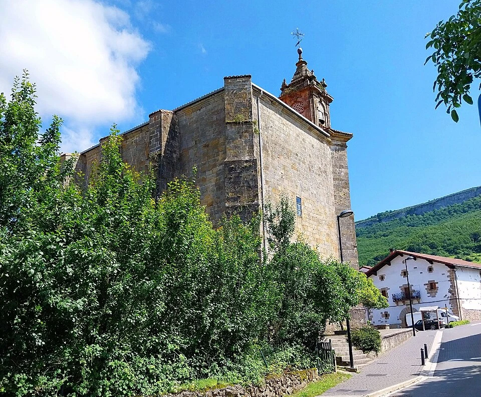
Church of the Assumption (Boadilla del Camino)
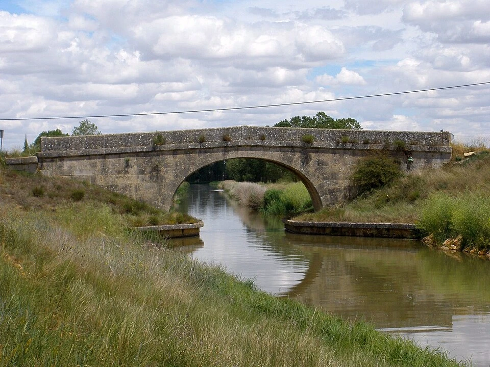
Canal de Castilla
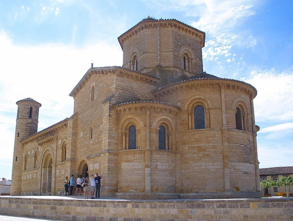
Church of San Martín de Tours (Frómista)
Localities
Castrojeriz
Itero de la Vega
Boadilla del Camino
Frómista
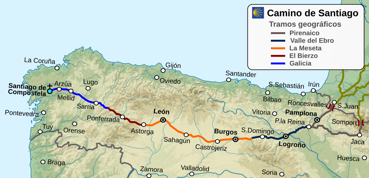
Route map
Ready to begin your journey?