
Hornillos del Camino
❯ Castrojeriz
20km
STAGE DISTANCE
Information
This stage of the French Way of the Way of Santiago connects Hornillos del Camino with Castrojeriz, both in the province of Burgos (Castile and León, Spain). It is a fully Meseta day, very similar to the previous one, that runs through the vast cereal lands of Castile and ends in one of the villages with the most heritage of the entire French Way.
The stage has an approximate distance of 20 km, with an average duration of about 4 and a half hours of walking, according to sources consulted. The distance can vary slightly depending on the guide: Gronze indicates 19.9 km and other sources speak of 20–20.5 km. It is a stage of moderate difficulty, with little elevation gain (around 170–190 m of climb, depending on the source). The profile follows the pattern of small plateaus: sections of gentle climb, long flat stretches across plateau, and descents toward valleys.
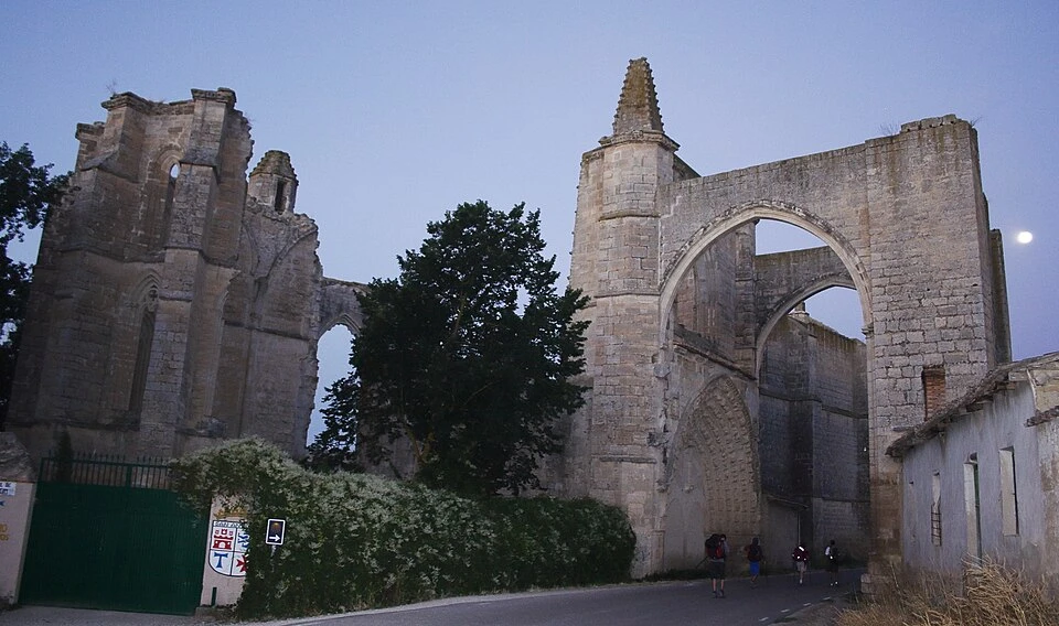
After leaving Hornillos, the Way climbs to a first plateau, passes near the Arroyo de San Bol, and descends toward Hontanas, the only intermediate village, situated just past the midpoint of the route. From there, the route levels out following the valley until the ruins of the convent of San Antón, whose great Gothic arch crosses the road, and continues until Castrojeriz.
The landscape, open and with few shaded areas, maintains the solitary character of the Meseta. The Jacobean importance of the stage is notable: in it two historic hospitality milestones are concentrated, Hontanas and the convent of San Antón, and you arrive at Castrojeriz, a village declared a Historic Ensemble with rich monumental heritage. The general feeling is that of a quiet and physically comfortable day, but intense culturally, especially in its final section.
Recommendation from The Way
Recommendation in stage 14: Hornillos del Camino – Castrojeriz
This stage is accessible, but several aspects worth noting based on verified information:
- Have breakfast and leave provisioned: from Hornillos to Hontanas are about 10 km with no services. It is important to have a good breakfast before leaving and carry water and some food, as the first village with services is Hontanas.
- Sun exposure: as in the previous stage, the pilgrim is very exposed to the sun, especially in the first half. In summer it is important to carry sufficient water, sun protection, and avoid the hours of maximum heat.
- The detour to Arroyo de San Bol: the shelter and fountain of Arroyo de San Bol are somewhat off the route (about 200 m). It is an optional stop with certain mystique among pilgrims, but involves a small detour.
- Final section by road: the stretch between the convent of San Antón and Castrojeriz runs beside the local road, with little shoulder. It is important to walk with attention to traffic, especially in a group.
- For those cycling: the stage is cyclable and has a gentle profile, although dirt tracks with stones can be uncomfortable. The passage under the arch of San Antón and the entrance to Castrojeriz by road present no major difficulty.
- Accessibility: several sources note that the path, due to its stony surface, is difficult or not advisable for people with reduced mobility; the final section by road could be done, but with caution due to lack of shoulder.
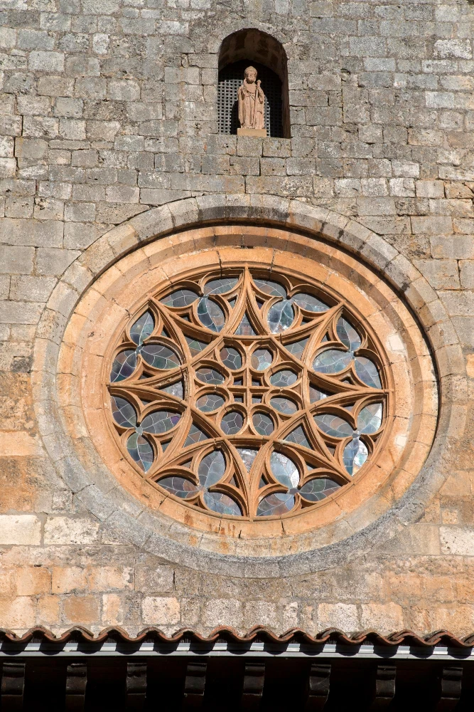
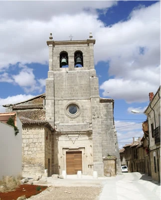
- Reserve time for Castrojeriz: as it is a short stage, it is worth arriving with time to visit the village’s heritage (Manzano collegiate, churches, and castle). Many pilgrims continue to Itero de la Vega if seeking a longer day.
Stage profile
The route connects Hornillos del Camino with Castrojeriz over about 20 km, with an estimated duration of about 4 and a half hours of walking, not counting stops.
The profile follows the Meseta pattern of gentle climbs, flat stretches, and descents. At departure from Hornillos there is a climb of about 100 m elevation gain over about 3 km, quite manageable, until reaching a first plateau at about 930 m elevation. After a long flat stretch across the plateau, the Way descends toward Hontanas, which appears characteristically almost without warning, hidden in a ravine. From Hontanas the route levels out following the valley, passes under the arch of the convent of San Antón, and continues, now via local road, to Castrojeriz.
The terrain type is mostly dirt track and loose stone across the plateau, with the final section asphalt between San Antón and Castrojeriz. As a practical note, the real difficulty is not in the elevation gain, but in the exposure and in the length of the initial section without services.
Itinerary
· Hornillos del Camino
Departure via Calle Real, which leads to the local road. Soon you abandon the asphalt to take a trail that starts to the right and climbs toward the plateau. A gentle and sustained climb begins.
· Arroyo de San Bol (detour)
· Hontanas
· Convent of San Antón
· Castrojeriz
What to See

Arroyo de San Bol
Hontanas
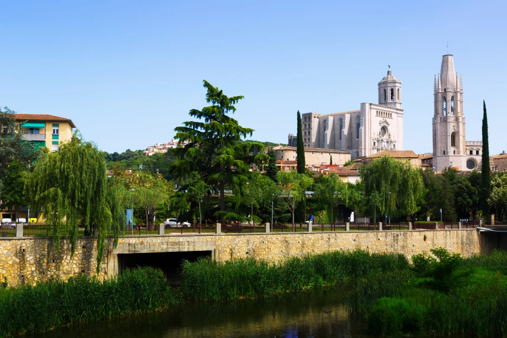
A village nestled in a ravine, with origins linked to its many fountains. It preserves the Church of the Immaculate Conception (or of the Conception), begun in Gothic style, later reformed, with a notable Baroque altarpiece. It maintains buildings with a tradition of pilgrim hospitality, such as the so-called Hospital of the French.
Convent (Monastery) of San Antón
Ex-collegiate Church of Santa María del Manzano (Castrojeriz)
Churches of Santo Domingo, San Juan, and San Esteban (Castrojeriz)
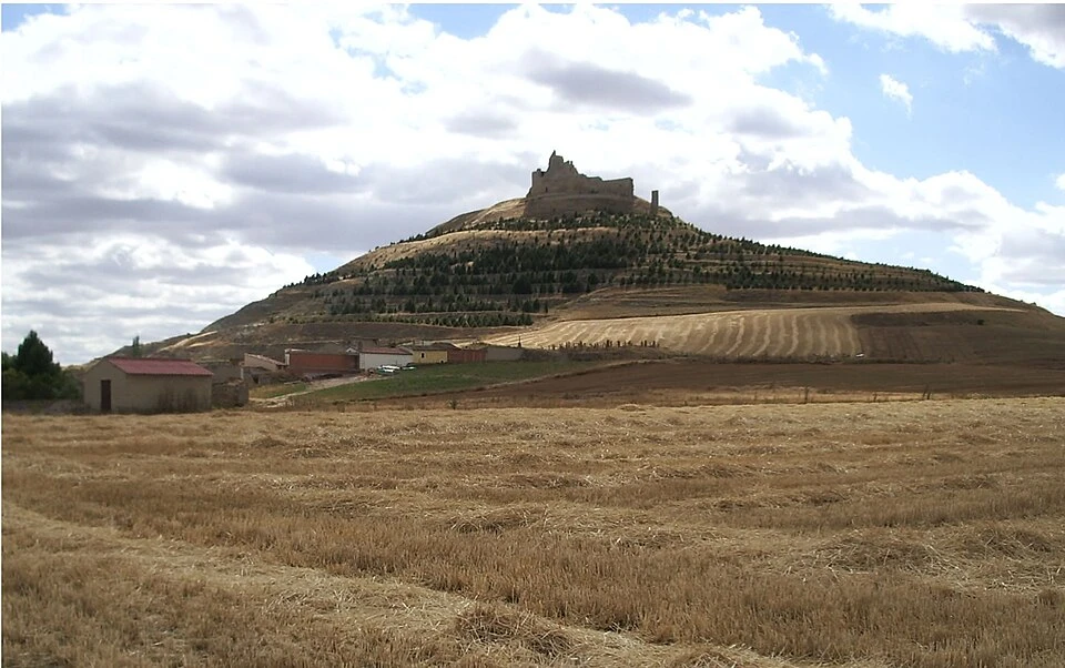
Castle of Castrojeriz
Localities
Hornillos del Camino
Hontanas
Castrojeriz
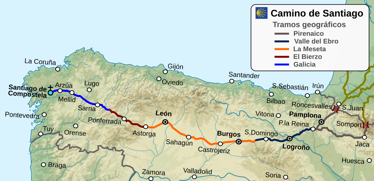
Route map
Ready to begin your journey?